Early Beginnings
|
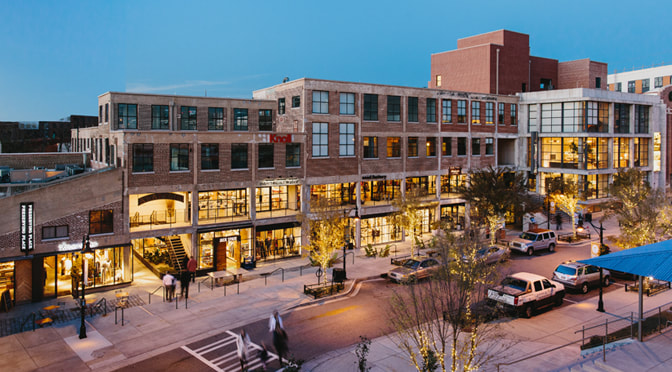
Atlanta dates back to 1837 when the Western and Atlantic Railway Line carefully chose the high Piedmont Plateau ridge (the high point where Atlanta's present-day skyline sits) as the best place to connect into the well-developed railway system of the North, and its markets.
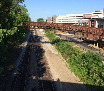
By the early 1840's the railroad companies in Atlanta were multiplying. The W & A was joined by the Macon and Western R.R. and the Georgia R.R. Line, connecting up the Southwest U.S. to the trade centers of Augusta and Macon and beyond. The point where these railroads overlapped was called Terminus approximately the location of Underground Atlanta today. Atlanta’s economy didn’t rely on the harvest but instead was fueled by commerce brought in by the railway. The primary railways, the Western and Atlantic Railway Lines, which helped put Atlanta on the map, are the railroads running behind the Marietta Street Artery buildings. If you stand on the bridge at White Provisions you can sometimes catch a train going by on these historic rails. |
Railroad tracks behind White Provisions
|
|
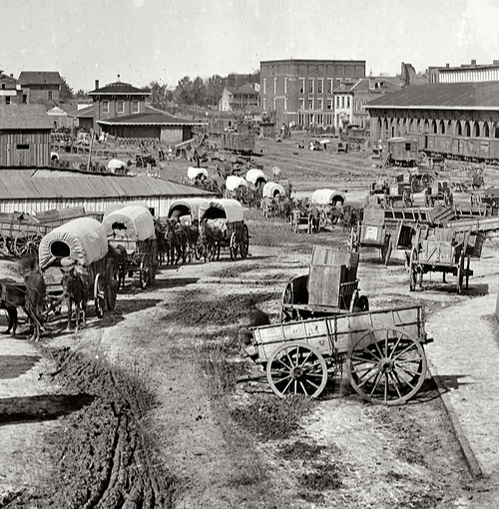
Federal Army Wagons, 1864.
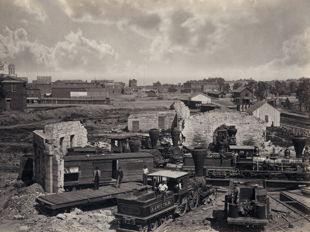
Burning of Atlanta: November 15, 1864.
|
The Civil WarDuring the Civil War, the upper Artery was swarming with soldiers from both armies. General Sherman invaded down the Western and Atlantic R.R. Line entering Atlanta from the northwest through the upper Artery. As Sherman and his mighty, well supplied army slowly made their way from Dalton, Ga., pushing Confederate defenses down the tracks, the well-known Southern Generals Gen. Joseph E. Johnston and Gen. A. P. Stewart made their headquarters in the upper Artery, then the outer limits of Atlanta in the northwest direction. The Artery is fortunate to have had a detailed account of this time by a resident, Sara Huff, who at the time was just 8 years old. She wrote an engaging book, My 80 Years in Atlanta, describing these earth shaking events from a civilians' perspective. You can read her book here.
The defeated army came home from Kennesaw Mountain, barefoot, ragged and starving along Marietta Street. General Sherman began crossing the Chattahoochee River on July 5, 1864 and after an incredible loss of life and limb, Atlanta surrendered on September 2, 1864. Many Georgia Civil War historical markers, such as The Surrender of Atlanta in 1864, can be found in the Artery today. During the late 1864 occupation of Atlanta, Sherman burned all buildings of any industrial value. A quote from The Man Who Amazed Atlanta - The Journey of Franklin Miller Garrett: "Now you hear people say that Atlanta was completely burned out, that there wasn't anything left. That's erroneous. Mainly the residences were spared. The object of the Union Army was to destroy the industry, which helped keep the Confederacy going….." |
Post Civil-War: Atlanta's Boom
|
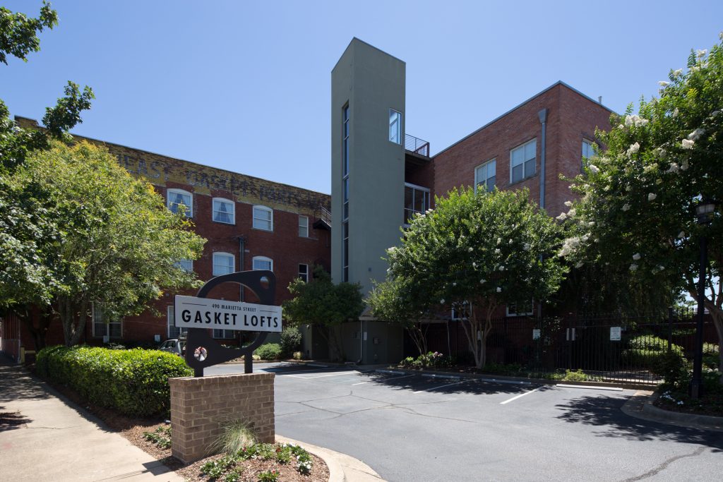
All buildings in the Marietta Street Artery were constructed after the Civil War.
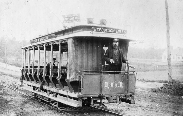
With the collapse of the South's economy after the Civil War country stores sprouted up in small towns and crossroad communities all across the region. Atlanta was a natural distribution center for all the goods that stocked these shelves and Atlantans very naturally and quickly arose to rebuild and take advantage of their strategic transportation location. Starting in the 1880's the post-Civil War generation had gained access to enough economic capital to expedite the cultural changes needed to convert from an agrarian based society to an industrial one. This shift was evidenced by the substantial industrial buildings that began rising up all along the railroad tracks of Atlanta around this time period. Textile mills came to the South, industrial complexes were built along the rail lines and mill villages were built to house the workers including Home Park, Blandtown, Howell Station, and homes off Bankhead Avenue. In 1871, a public transit system was created consisting of horse and mule-drawn trolleys. These animal powered trolleys were converted to electric ones in 1889. Large-scale International Expositions were held in 1881, 1887, and 1895 to attract outside money and business enterprise, Atlanta became skilled at marketing itself to investors. Many of the old industrial buildings in existence today are a result of these expositions. The 1881 International Exposition was held in the upper Artery where the Exposition Cotton Mills (Dem.) was built along the R.R. track, just south of present day King Plow Art Center and Ashby Street Trolley Barn. |
Electric Street Car to Exposition Mill, c. 1900
White Provisions, c. 1956.
|
Historic Legacy Continues
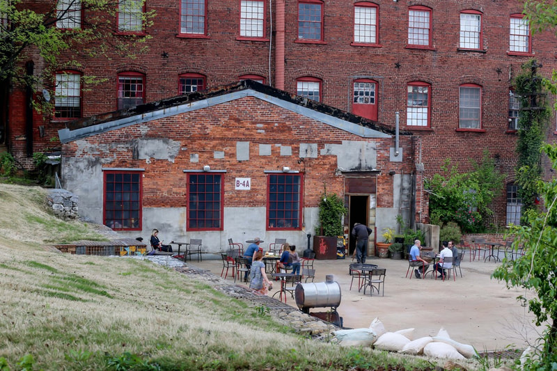
An entrepreneurial spirit welded by strategic location and the many circumstances forming Atlantan culture shines through the great commercial structures built along the tracks of the three regions of the Marietta Street Artery. The buildings in the Artery were developed with aesthetics which responded thoughtfully to the needs and aspirations of early entrepreneurs. These unique buildings have helped catalyze the present-day redevelopment of the area, which is a vibrant mixed-use district. New uses have revived these historic structures whose industrial character make the Marietta Street Artery a unique Atlanta neighborhood.
This map highlights some of the historic structures in the lower portion of The Artery.
